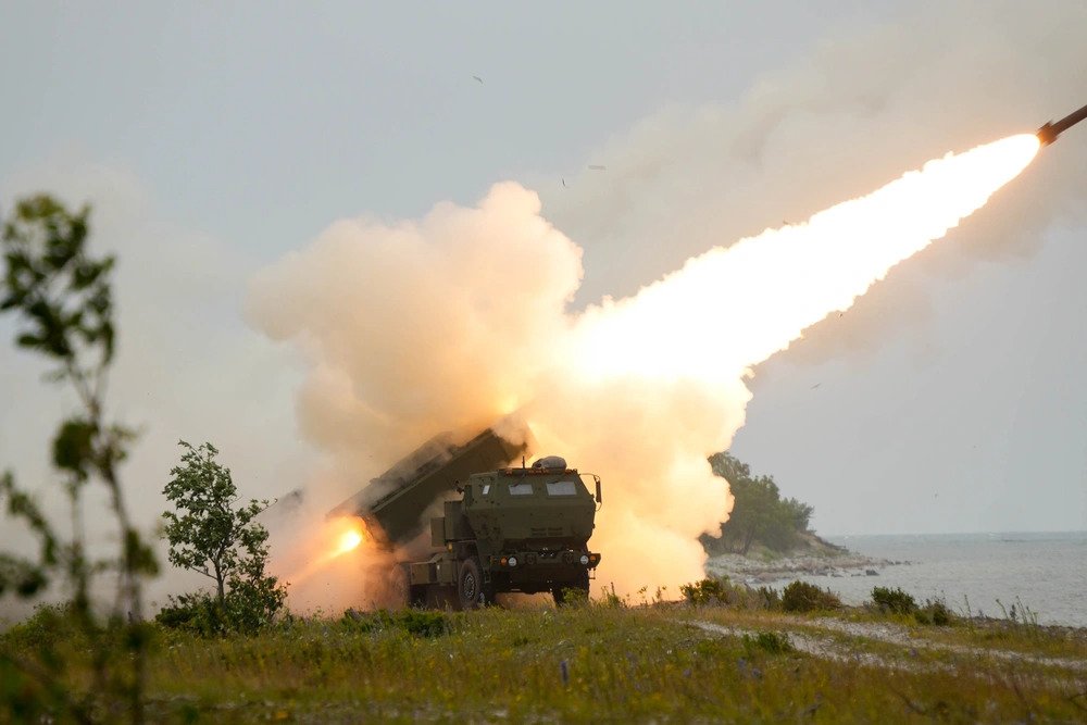
The U.S. Army is actively restructuring its long-range fires doctrine to target mobile maritime threats. Lockheed Martin secured a $1.2 billion contract to deliver the Precision Strike Missile (PrSM) Increment 2, outfitting the weapon with a multi-mode seeker. This procurement directly integrates land-based batteries into naval surface warfare operations. Commanders plan to position these mobile units along coastal chokepoints to threaten hostile fleets and enforce absolute sea denial.
BOTTOM LINE UP FRONT
- PrSM Increment 2 introduces a multi-mode seeker integrating passive radio frequency and imaging infrared sensors to track moving warships.
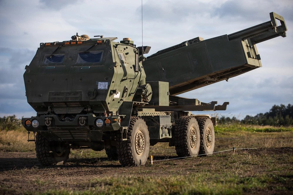
- The platform doubles the M142 HIMARS payload, carrying 2 missiles per pod compared to the legacy single-shot ATACMS.
- Engagement range increases to 310 miles (500 km), significantly outdistancing the 190-mile (300 km) limitation of early ATACMS variants.
- Dispersed mobile shore batteries operating near the first island chain will directly complicate adversary naval routing and targeting logistics.
Transitioning Long-Range Fires to Maritime Domains
The baseline PrSM Increment 1 entered active service in 2023, replacing the aging MGM-140 ATACMS inventory. Early ATACMS models date back to the 1990 Gulf War and rely heavily on GPS-assisted inertial guidance. These systems deliver precision against static land targets but fail against moving warships or active electronic warfare jamming.
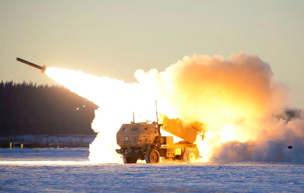
To counter these limitations, Increment 2 integrates a terminal multi-mode seeker. Lockheed Martin engineered the seeker to utilize a passive radio frequency sensor to detect enemy radar or communication emissions. As the missile approaches the terminal phase, an imaging infrared sensor activates to identify the specific vessel and pinpoint the optimal impact zone.
Flight Profiles and Kill Chain Integration
During a March 2026 flight test, an Increment 2 missile struck a moving maritime target at approximately 217 miles (350 km). Open water lacks geographic cover. However, the earth’s curvature effectively obscures warships from ground-based shore radar tracking.
Missiles traveling at an estimated Mach 3 require roughly six minutes to cover a 250-mile distance. A warship cruising at 25 knots will shift position by 3 miles during that flight time. The multi-mode seeker corrects for this final displacement. Initial launch data depends entirely on joint force assets. Navy reconnaissance aircraft or satellite networks must establish the initial track and relay exact coordinates to the isolated army battery.
Tactical Dispersal Across the First Island Chain
This procurement aligns with the shift toward distributed multi-domain task forces. Deploying these units across the first island chain—stretching from Japan through Taiwan to the Philippines—creates overlapping zones of sea denial. Amphibious forces and surface combatants navigating the Miyako Strait or Luzon Strait will face persistent threats from inland batteries.
These ground units operate with highly constrained logistical footprints. They utilize existing road networks, briefly expose their positions to launch, and immediately relocate. Hostile forces must expend heavy intelligence and reconnaissance resources scanning complex coastal vegetation and urban terrain to locate a handful of missile trucks, rather than tracking a single visible destroyer at sea.
| Specification | MGM-140 ATACMS | PrSM Increment 1 | PrSM Increment 2 |
| Primary Target | Static land installations | Static land installations | Moving maritime & relocatable land targets |
| Max Range | 190 miles (300 km) | 310 miles (500 km) | 310+ miles (500 km) |
| Guidance System | GPS/INS | GPS/INS | Multi-mode (Passive RF + Imaging IR) |
| M142 Payload | 1 missile per pod | 2 missiles per pod | 2 missiles per pod |
| Combat Debut | 1991 (Operation Desert Storm) | 2026 (Operation Epic Fury) | In Development (First live test 2026) |